The Decca Navigator System (from the british Decca Navigator Company) was a low frequency hyperbolic radio navition system, mainly used by fishing vessels and ship traffic along the coast. In the North Sea the system also was used by helicopters operating to oil platforms. Decca was the main navigation system of the Sea King Search And Rescue helicopters before beeing replaced by GPS.
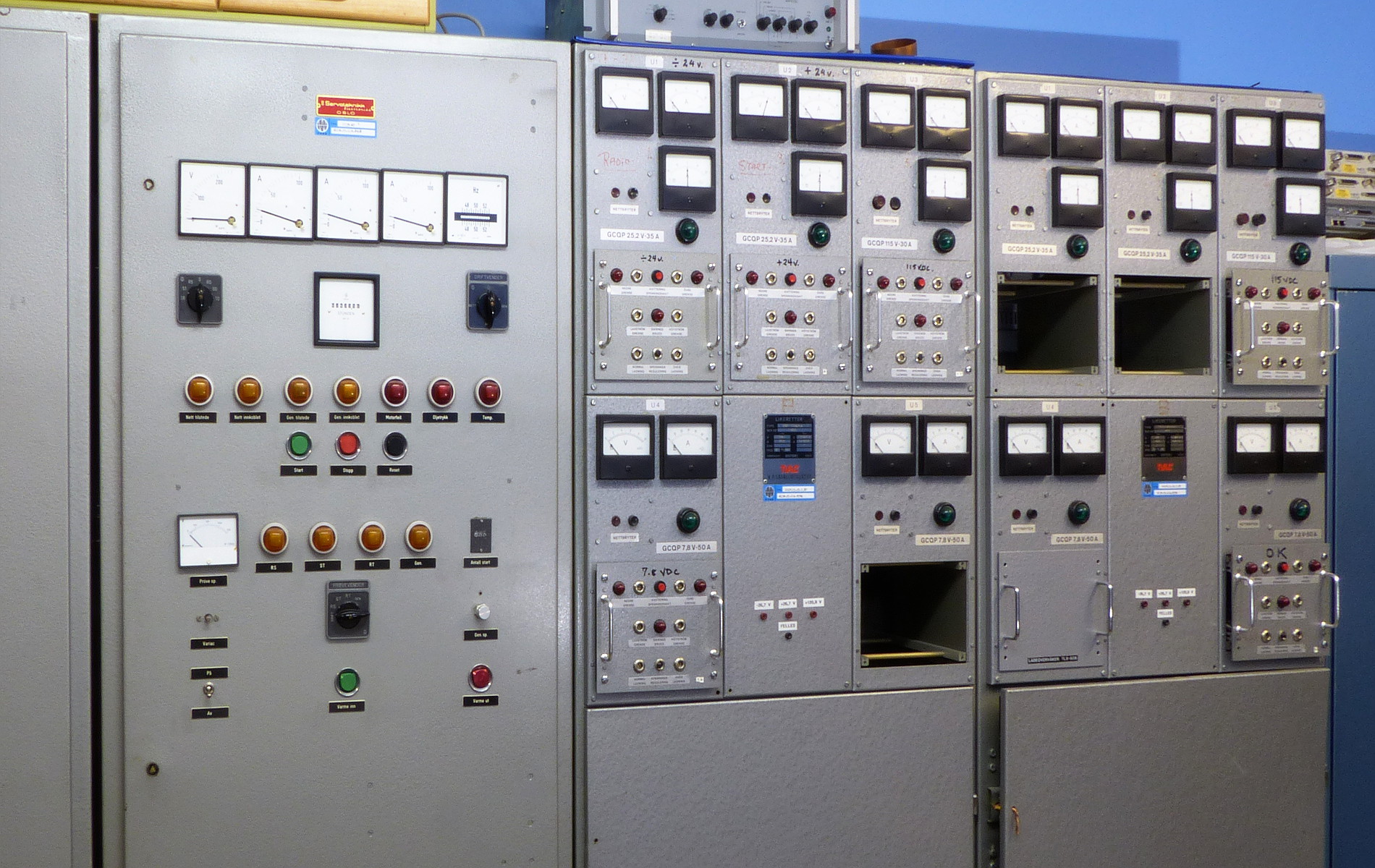
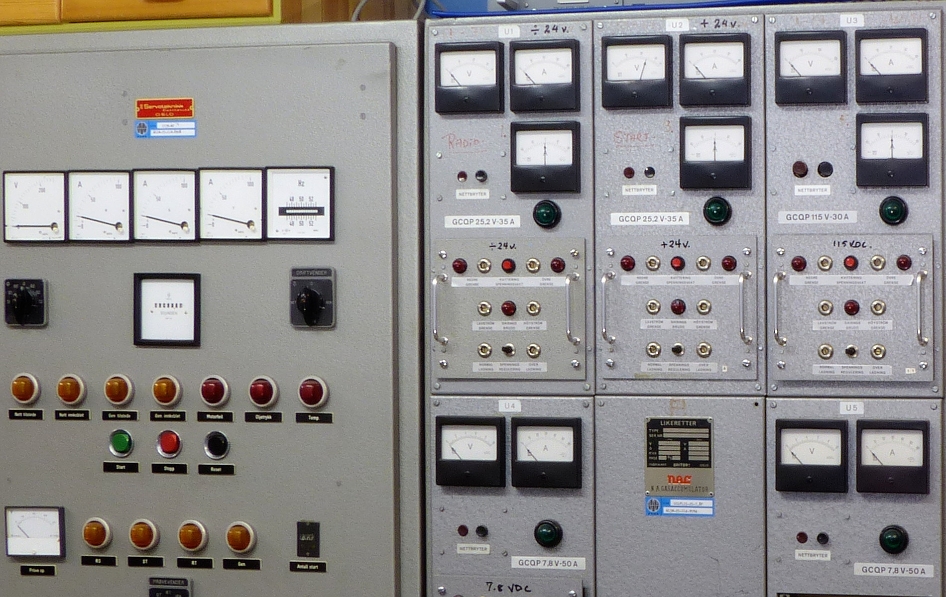
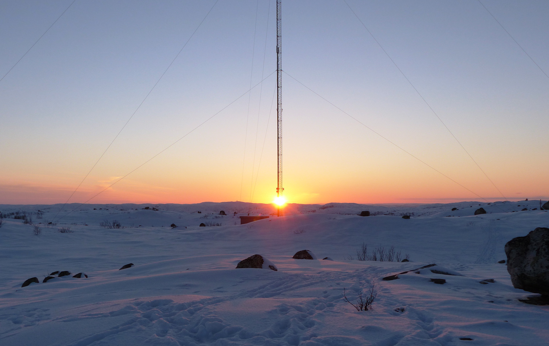
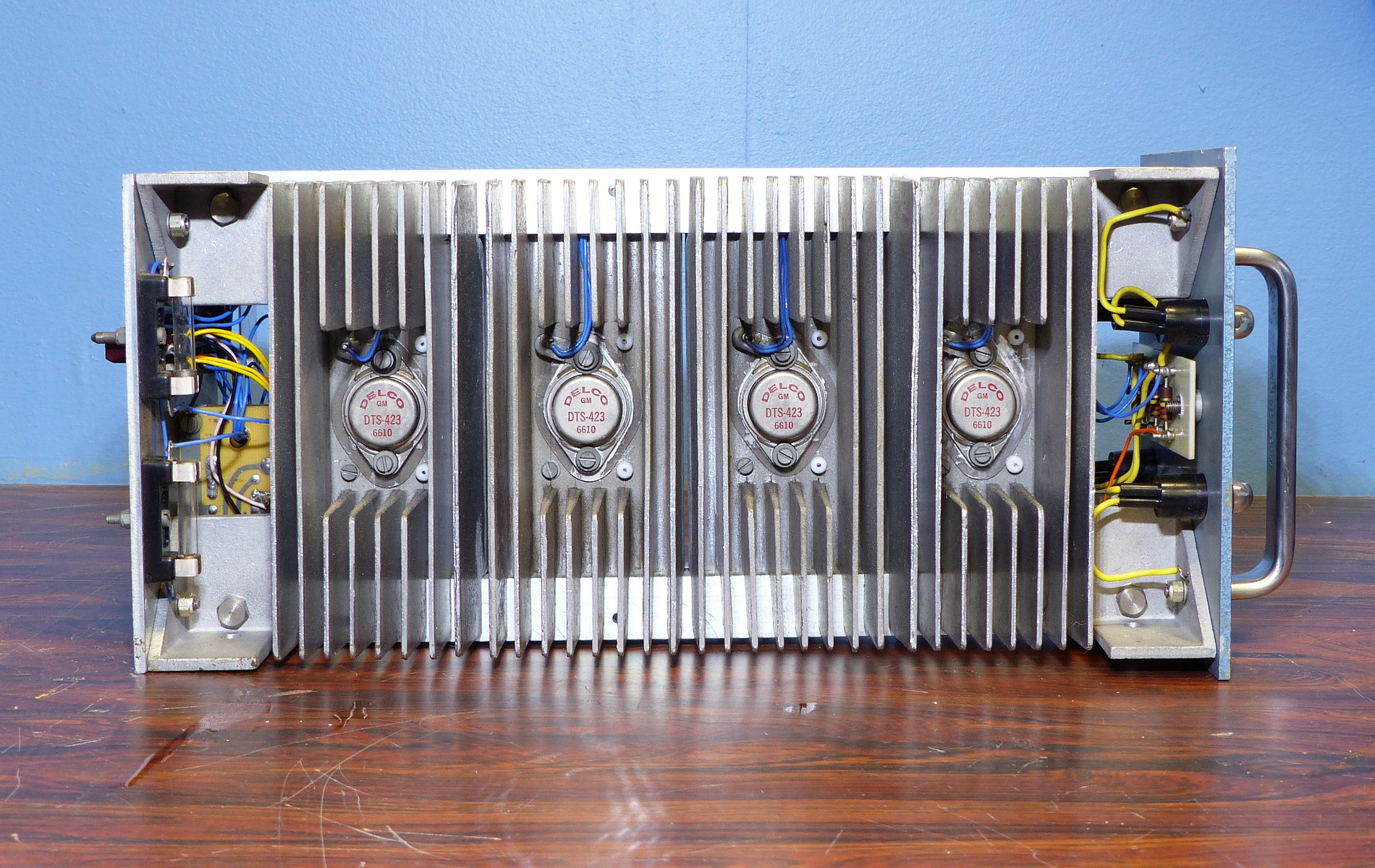
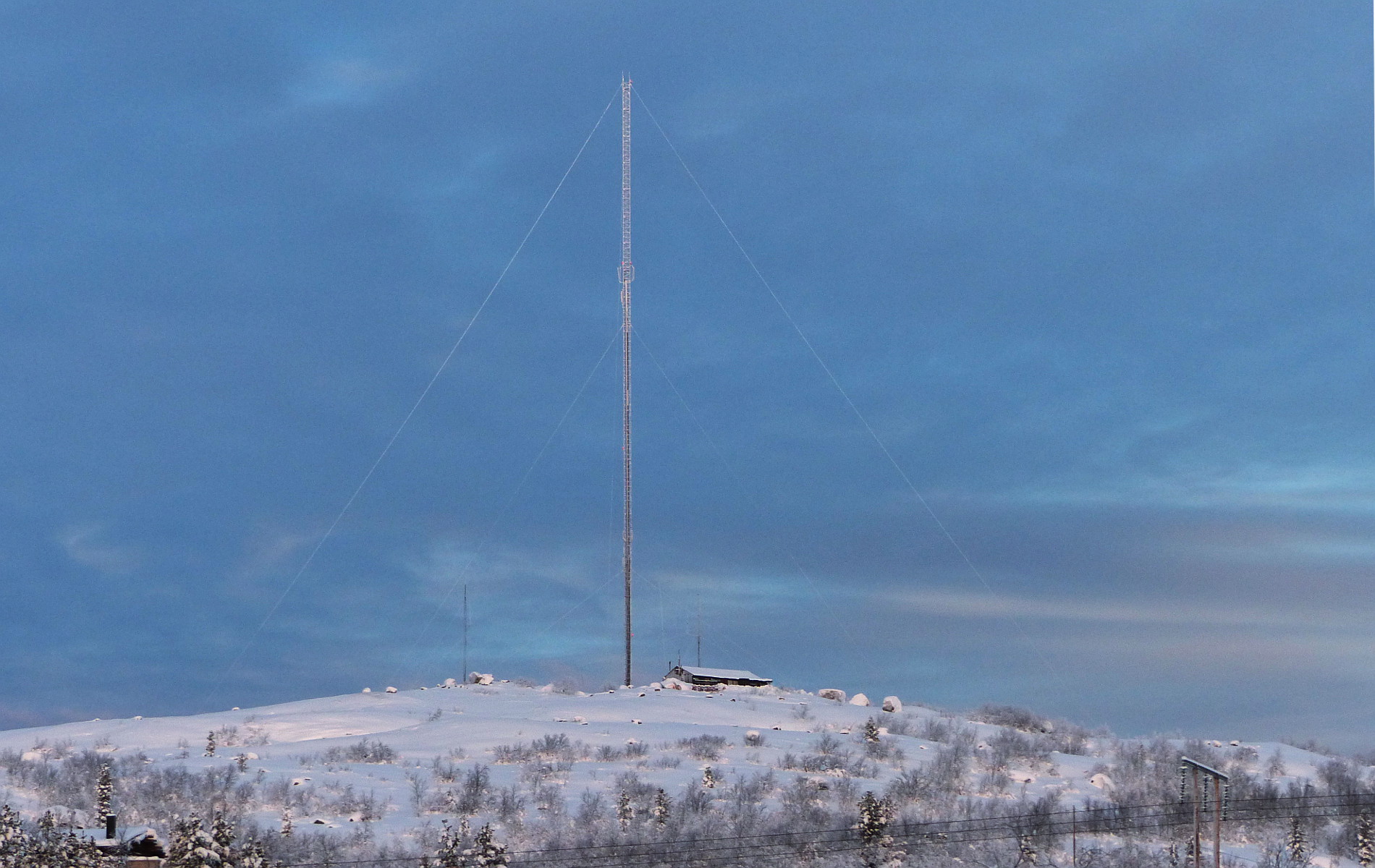
The Decca system in Norway consisted of 5 chains of land based radio beacons. Each chain consisted of a master station and three secondary slave stations, termed red, green and purple. The "Finnmark chain" was Norways first one, opened at the 27th of May 1967. The chains in Norway were equipped with a new generation of automated transmitters (1880 series), the stations were unmanned and remote controlled.
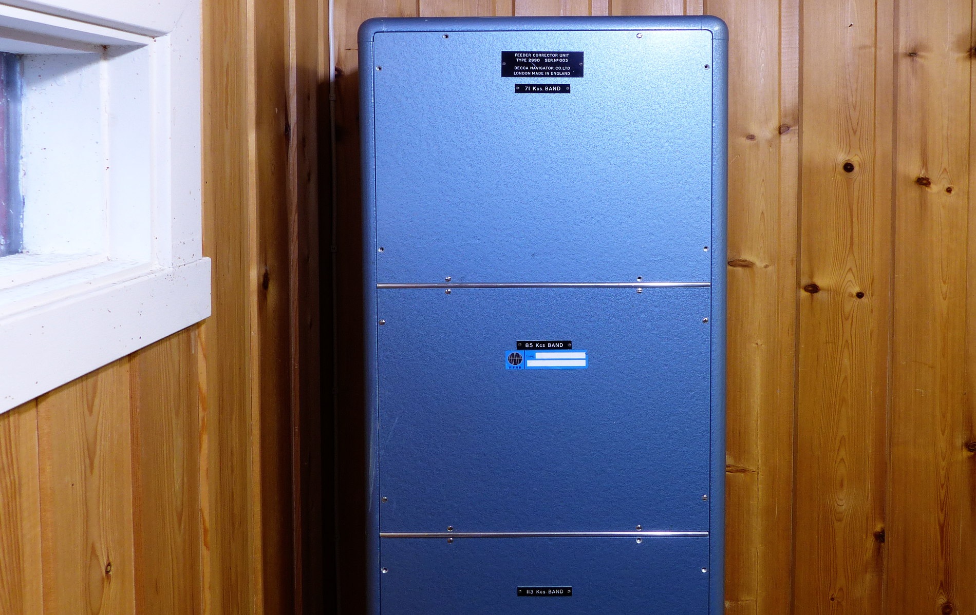
Kirkenes belonged to the Finnmark chain (7E) as red slave:
| Master | Red Slave | Green Slave | Purple Slave |
| Børselv | Kirkenes | Vannøy | North cape |
85,4550 KHz | 113,9400 KHz (14.2425 * 8) | 128,1825 KHz (14.2425 * 9) | 71,2125 KHz (14.2425 * 5) |
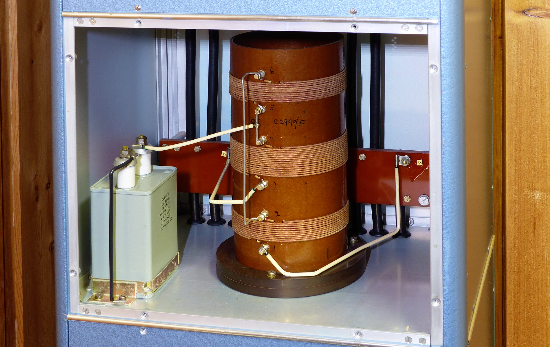
The transmitters operated at different harmonic waves of another frequency (Finnmark chain: 14,2425 Khz) with phase synchronisation to this frequency of all transmitters. The Decca receivers multiplied the frequencies of each transmitter to obtain different signals with a unique common frequency, and finally could determine the phase difference betwenn these as desired information.
The phase differnce received from a master transmitter and one slave transmitter is constant along hyperbolic curves on a map, with both transmitters in a focus of the hyperbolas. With different hyperbolic curves plotted on the nautical charts in the corresponding colours red, green and purple, the values of phase differences displayed at the Decca receiver enabled to follow the intersection of hyperbolas from differnet patterns on the map.
The wavelength was small compared to the distance between master and slave stations. The interval between two adjacent hyperbols with 0 degree phase difference was called a "lane". To determine the correct position it therefore was necessary to first determine the current lane.
If the initial posotion of a covered path was known, the receiver could count the number of passed lanes. This implied that the transmitters had to be reliable and be equipped with uninterruptible power supplies (UPS), both with batteries and diesel generator set designed to operate the transmitters at full power.
More modern receivers with microprocessors could display the position directly in latitude and longitude.